
How Old Is The New River Gorge? It’s Anything But New!
Once upon a time, tourism was not what the local economy depended on for survival. The landscape and natural beauty above ground was not considered as lucrative as what lay beneath the surface. Coal was the cash crop for many who lived along the New River, including those who lived nearby and worked underground in the dark coal mines that are now abandoned beneath ACE’s property. Although people flooded the region during this time, for years the gorge was protected from development due to the steep, hard-to-navigate terrain.
The New River isn’t new?
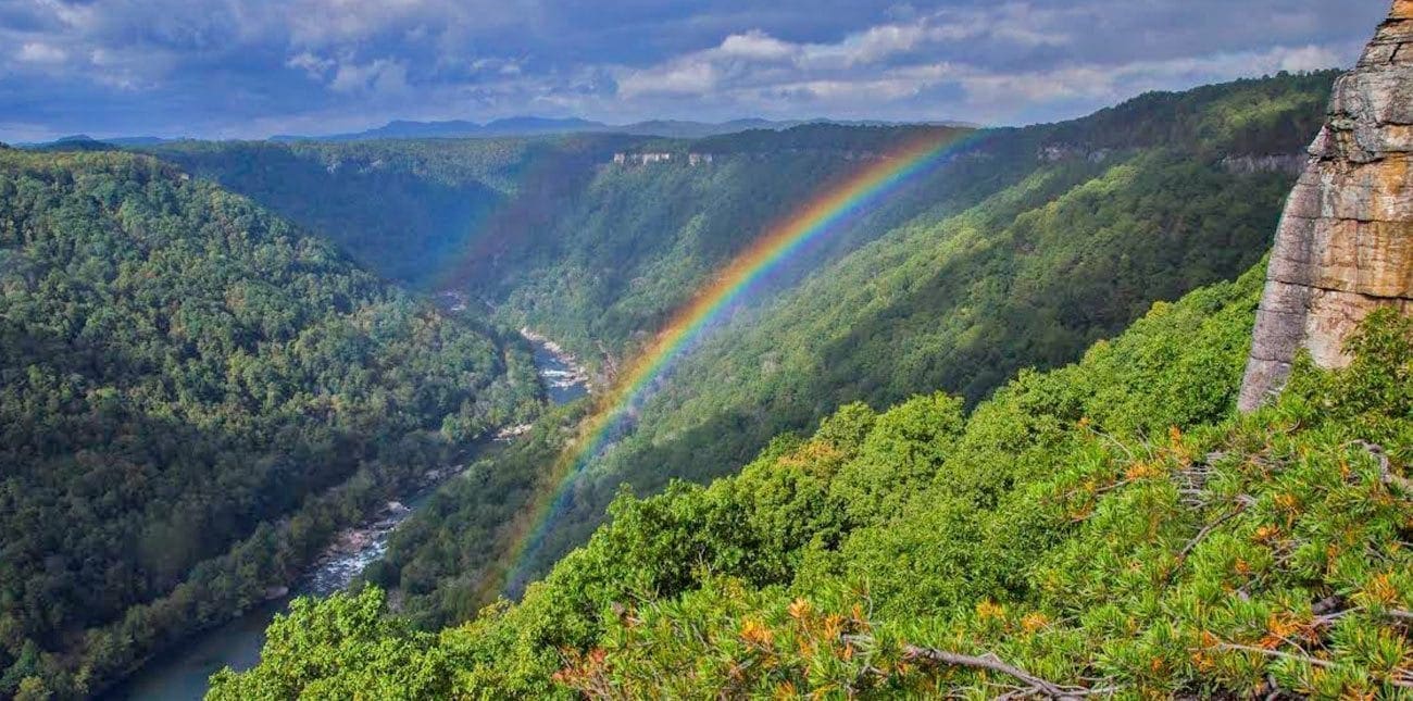
The New River name suggests this river is not very old, however the most accepted estimate suggests that the river has been running its present course for at least 65 million years. Still called the Teays River by geologists, the New was once a longer river connecting to Ohio, Indiana, Illinois and emptied into Mississippi. The last advance of glacial moving occurred about 10,000 years ago that separated and buried most of that river section and diverted water onto the Kanawha and Ohio rivers. Another indication of the gorge’s old age is the rock layers geologic history. Exposed cliffs make the perfect rock climbing hangouts and some scenic overlooks like Beauty Mountain has rocks over 330 million years old. Young rock layers are also exposed all over ACE property and throughout the national park; as you explore, look for the black streaks – these are coal deposits.
After centuries of being inaccessible, the railroad opened up the gorge to travelers and the landscape began to drastically change. Farms cropped up in the flood plains and the Appalachian Plateau offered coal among other valuable minerals. The railroad bordered the river, making it possible to eventually ship coal all the way to the coast. As coal mining grew, remote towns near the coalfields flourished and opened up other business opportunities like casinos, dry goods, banks; some have been historically preserved such as the town of Thurmond (which can been seen far below from the Concho Rim Overlook.)
Since the closing of these mines, the forest has reclaimed the land in many of these ghost towns. Fossils and ferns now cover the forest floor, replacing the general stores, churches, homes and schools. Old rail lines have been converted to an entire network of trails for hiking and biking. Within the resort, you can explore what remains of Erskine at our private overnight camping spot along the New River. (As you sit around the campfire and sleep under the stars, you can imagine how remote life must have been living at the bottom of the gorge!)
JUST LIKE ERSKINE, ALONG EVERY CALM STRETCH OF RIVER BETWEEN RAPIDS THERE USED TO BE A HUMBLE COAL OPERATION AND TOWN TO SUPPORT THE INDUSTRY.
In many places, you can still see stone building foundations peeking out of the greenery that were built where the land wasn’t too steep. Workers would send coal from the mines deep within the mountains down narrow gauge tracks or tipples to the main railroad line along the river. Many of these places can only be recognized with old photographs to reference where buildings once were. Now, they are long gone and buildings suffer from decay so badly they are hardly recognizable. Forest overgrowth crowds out the once working coke ovens and the tipples (or coal shoots) have all been removed. Other half-day hikes we recommend where you can explore these ghost towns are the Kaymoor mine, where you can still see some of the old mining infrastructure and hike the stairs leading down the mountain, and visiting the abandoned coal tipple in Nuttleburg. These sites are managed by the National Park Service and are safely maintained and preserved for historical integrity.
Congress established the national park in 1978 to preserve and protect the waterway as well as some of West Virginia’s most rare plants and animals. Today there are 53 miles of river and its gorge as well as 40 miles or tributaries that are preserved as the New River Gorge National River. The Class III-IV whitewater rapids are created as the New River falls 750 feet in 50 miles, from Bluestone Dam to Gauley Bridge, creating one of the finest whitewater rivers in the eastern United States. (For comparison, the Mississippi River falls 1,428 feet from Minnesota to the Gulf of Mexico, a distance of 2,300 miles.)
The New River Gorge has seen many changes over the years way before rafting and adventure tourism became mainstream. As you float the river or bike or hike or ride the zip lines through the forest, try to imagine making a living and working deep within the gorge. There is a rich heritage in our community, so follow the NPS map and we invite you to get outside and explore what the New River Gorge is all about!